Real-time data
Air Quality — New York State DEC
Air Temperature & Precipitation— US Climate Reference Network Site at Millbrook
Phenocam Image — Phenocam Network
Overview
From 1984 to 2025, Cary Institute's Environmental Monitoring Program measured parameters related to weather and climate, air, precipitation, and streamwater chemistry, solar radiation, stream flow, and stream temperature. In 2025 air, stream and precipitation chemistry monitoring ended and solar radiation monitoring was reduced. Weather and climate and stream flow, temperature and conductivity monitoring continue to be monitored. The NY DEC continues to monitor ground-level ozone on Cary Institute grounds, and the US Climate Reference Network also operates a weather station for monitoring climate at Cary Institute.
Cary Institute hosts sites for network programs, including:
- The New York State Department of Environmental Conservation Ambient Air Monitoring Program, for ground-level ozone.
- The National Oceanic and Atmospheric Administration (NOAA), U.S. Climate Reference Network (USCRN), a program designed to provide long-term homogeneous observations of temperature and precipitation that can be coupled to historical observations for the detection and attribution of climate change.
- The Northern Arizona University PhenoCam Network, a cooperative continental-scale phenological observatory that uses imagery from networked digital cameras to track vegetation phenology in a diverse range of ecosystems across North America and around the World.
- The USA National Phenology Network, a national-scale monitoring and research initiative.
- Chronolog, a time lapse photos program powered by community science.
Location
Cary Institute of Ecosystem Studies is located in the mid-Hudson River Valley near Millbrook, New York, roughly 113 km north of New York City and 24 km east of Poughkeepsie.
The Environmental Monitoring Station at Cary Institute is located in a flat, open field at an elevation of 128 m. GPS coordinates for the site are: 41.785823 -73.741447. The station has a small building (9 ft. x 20 ft.), which is shared with the NYS DEC Ambient Air Monitoring Program.
Stream gauging equipment is located on the East Branch of Wappinger Creek in the Fern Glen on Cary Institute property. GPS coordinates for the site are 41.78707, -73.73317.
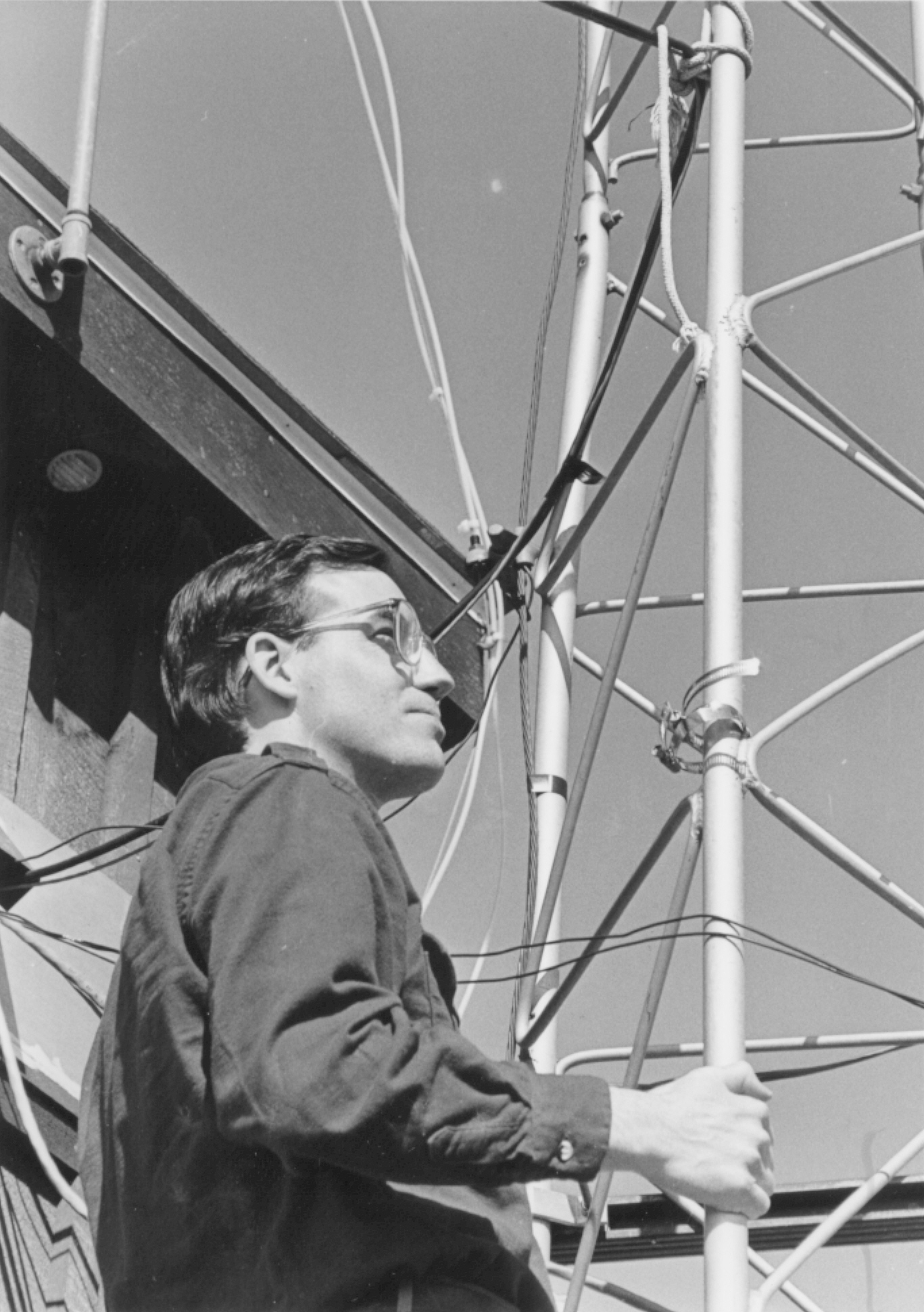
Dr. Gary Lovett at the station tower, 1985.
- Publications

